








Wildfire Resilience Planning for Fire-Adapted Futures
Science-based strategies For risk reduction, recovery, and resilience.
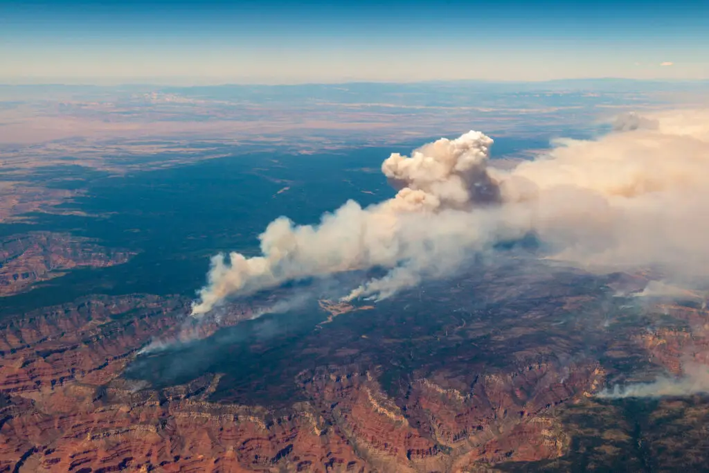
As wildfires grow more frequent and severe worldwide, they are reshaping landscapes, threatening lives and livelihoods, and overwhelming conventional risk-management approaches. SIG-NAL’s Wildfire Resilience Program advances innovations for fire-adapted futures, from local communities to international initiatives. By integrating cutting-edge analytics and collaborative planning, we help communities and land managers prepare for, respond to, and recover from wildfire.
How
We Do It
Methodology
We promote fire-adapted landscapes through science-based planning, AI-enabled analytics, remote sensing, and collaborative decision-making. Our process helps communities and land managers anticipate risk, prepare for wildfire, and respond effectively as conditions change.
Expertise
We bring cross-disciplinary expertise to develop wildfire planning, analytics, and tool development to support long-term resilience.
Initiatives
Wildfire Resilience work

AI Collaborative: Wildfires
Explore how AI collaboration supports wildfire management by combining scientific expertise, decision-support tools, and artificial intelligence to improve planning and resilience.
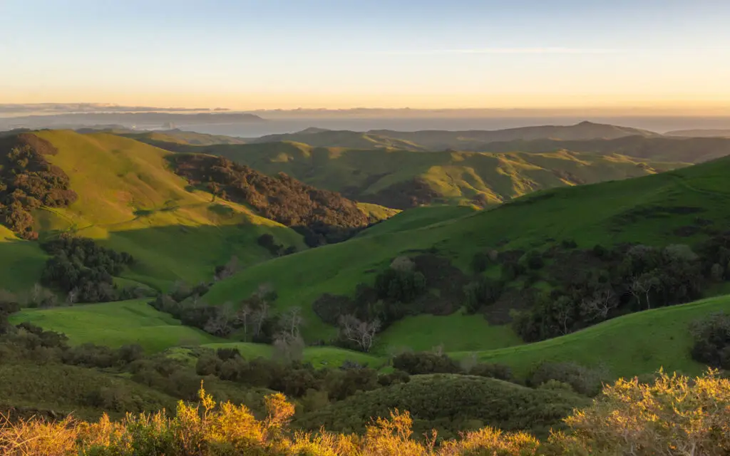
Planscape
Planscape is an open-science decision-support platform for wildfire resilience planning. Built on best-available science—including the USDA Forest Service’s ForSys model, Forest Vegetation Simulator
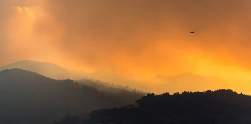
Regional Wildfire Mitigation Program
The Regional Wildfire Mitigation Program (RWMP) Landscape Domain is a landscape-scale approach to reducing wildfire risk by integrating fire science, ecosystem restoration, and community stewardship.
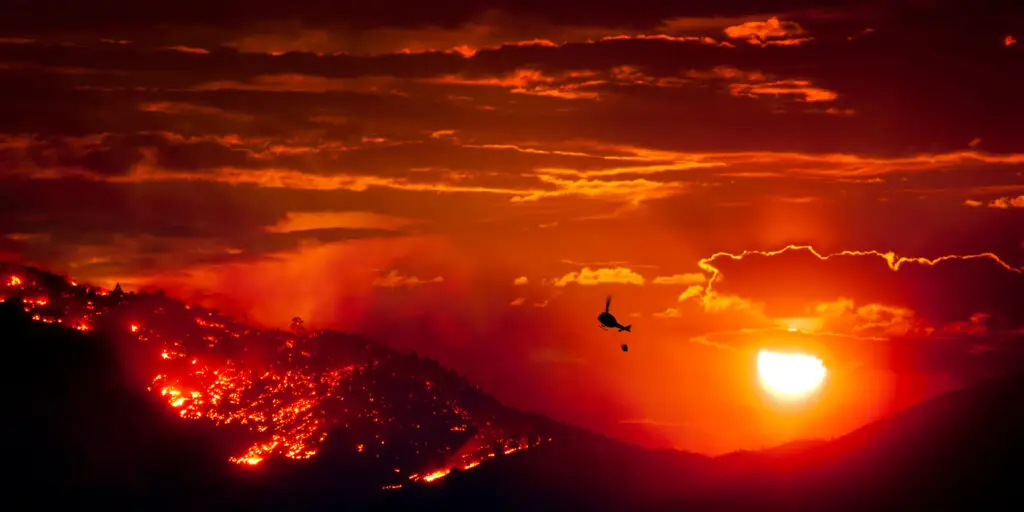
KaiGeoCon
KaiGeoCon is an initiative selected as one of 12 finalists by Conservation X Labs for its potential to transform how communities prepare for and manage wildfire risk.