HIWAT

The High-Impact Weather Assessment Toolkit (HIWAT) is a SERVIR-supported early warning forecasting system for extreme weather developed by the SERVIR hub in South Asia
GEOGLOWS

GEOGLOWS is an international initiative that provides open, global streamflow forecasts and hydrological data to manage water resources
Collect Earth Online (CEO)

Collect Earth Online (CEO) is one such tool: an open-source platform that combines satellite imagery with human interpretation
Forest Data Partnership
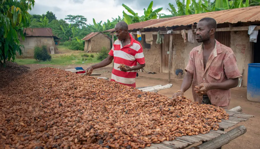
Across the globe, governments and private-sector actors are committing to reducing forest loss and expanding restoration to address climate change
Residential Rainwater
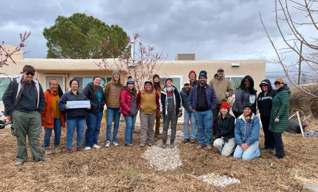
The Residential Rainwater Harvesting Installation Program (RRHIP) offers hands-on, half-day workshops that guide community volunteers to install small-scale passive rainwater harvesting features
The Wildlife Information Network

We convene and lead networks that connect decision-makers, data scientists, and practitioners
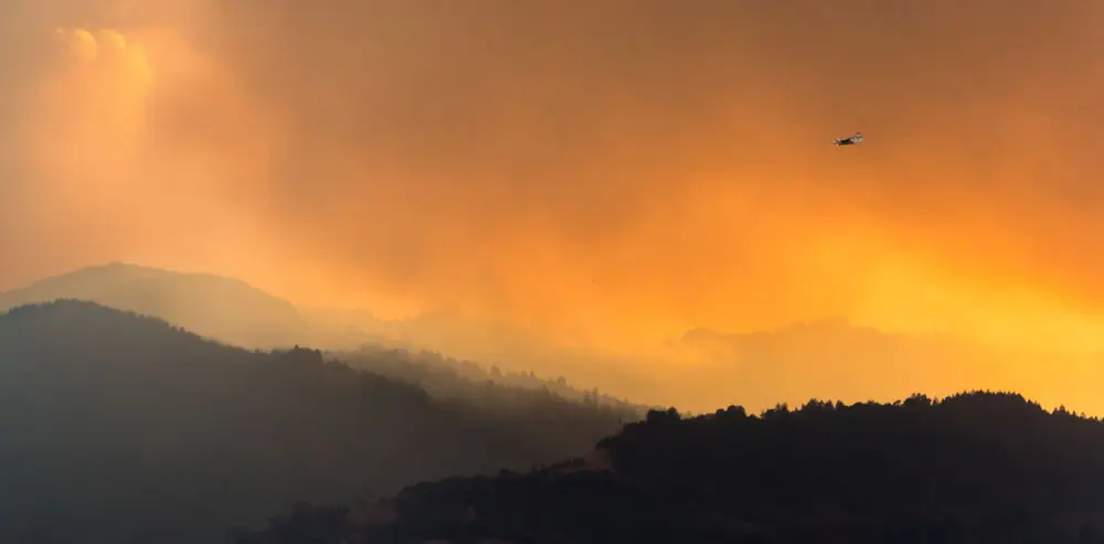
KaiGeoCon

KaiGeoCon is an initiative selected as one of 12 finalists by Conservation X Labs for its potential to transform how communities prepare for and manage wildfire risk.
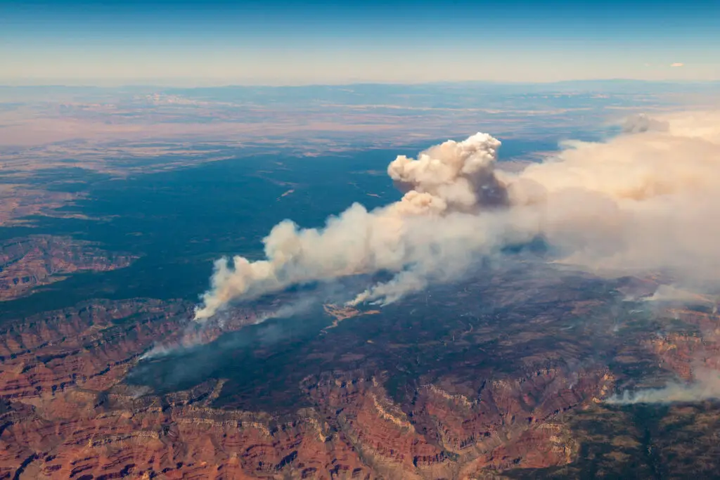
Regional Wildfire Mitigation Program
The Regional Wildfire Mitigation Program (RWMP) Landscape Domain is a landscape-scale approach to reducing wildfire risk by integrating fire science, ecosystem restoration, and community stewardship.
Planscape

Planscape is an open-science decision-support platform for wildfire resilience planning. Built on best-available science—including the USDA Forest Service’s ForSys model, Forest Vegetation Simulator
AI Collaborative: Wildfires
The AI Collaborative: Wildfires (AIC:W) is a global, cross-sector initiative launched by Google.org to harness artificial intelligence for transformational wildfire preparedness, detection, and risk reduction. It involves coordinated funding and partnership with more than 15 leading nonprofits, academic institutions, government agencies, and technology organizations.